RidgeSync
Trail-Snapped Route Planning on Real Trails
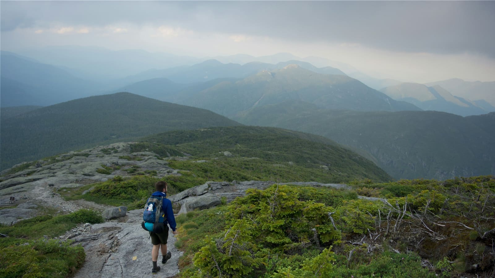
Click two points and RidgeSync routes between them along real trails, not straight lines. The routing engine follows OpenStreetMap trail data, so the line on your screen bends around switchbacks, follows the actual tread, and produces mileage and elevation numbers you can plan a day around.
This is the difference between a plan and a guess. A straight-line sketch of a High Peaks day might read 4 miles; the trail-snapped version reads 6 with 3,200 ft of climbing, and that second number is the one your legs will meet.
How it works
Drop waypoints on the map and RidgeSync calls a Valhalla routing engine tuned for pedestrian travel over OpenStreetMap trails. The returned geometry hugs the actual trail network: junctions, switchbacks, river crossings where bridges exist.
Every leg updates the trip's live totals: distance, elevation gain and loss, and an estimated moving time based on distance plus climbing. Drag any point and the numbers recompute as you move it.
Why snapped miles beat map miles
Paper-map planning fails in two ways: straight-line segments undercount distance, and eyeballed contour crossings undercount climbing. Both errors compound over a multi-day route and land on your hardest day.
Snapped geometry fixes the inputs, which fixes everything downstream: realistic daily splits, honest time estimates, and food planning that matches actual effort. It's the foundation the rest of RidgeSync is built on.
Off-trail and custom segments
Not every route follows mapped trails. When you need a bushwhack, a herd path, or a route the map doesn't know, you can place points directly and keep full control of the line, then let snapping resume where the trail network picks back up.
From snapped geometry to a real itinerary
Once the line follows real trails, day splits become decisions instead of guesses. You can place camps near water, avoid ending on a steep climb, and estimate moving time with elevation in the math. Food weight and trip length both get more accurate when the miles are honest.
That is why RidgeSync starts with routing. Elevation profiles, day cards, and meal planning all inherit the same trail-snapped geometry, so the whole plan stays consistent as you edit.
Frequently asked questions
What map data does RidgeSync route on?
OpenStreetMap trail data, routed through a Valhalla engine tuned for foot travel. OSM has the best global coverage of hiking trails of any open dataset, and it improves continuously.
Can I plan a route that leaves the trail?
Yes. You can place manual points for off-trail segments and mix them freely with trail-snapped legs in the same day.
Do the mileage and elevation numbers update as I edit?
Yes, live. Every drag, split, or added waypoint recomputes distance, gain, loss, and estimated moving time for the day and the whole trip.