RidgeSync
Weather Along Your Route, Tied to Each Planned Day
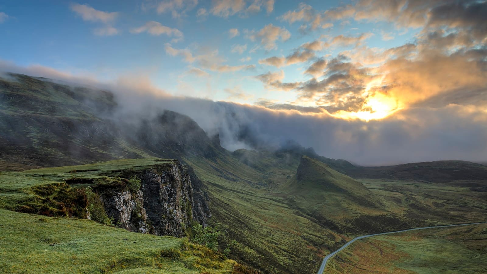
A trailhead-town forecast tells you almost nothing about conditions 4,000 ft higher on the exposed ridge you're camping on that night. RidgeSync's weather along route pulls a forecast for the actual points on your itinerary, each camp and each day's terrain, so the numbers you're planning around reflect where you'll actually be, not the nearest town with a weather station.
Because the forecast is tied to your trip's real days, it changes with your plan: move a camp, adjust a day split, and the weather view updates to match the new location and date.
Forecast by camp, not by town
Mountain weather changes fast with elevation and exposure, a valley camp and a ridge camp a few miles apart can see genuinely different conditions on the same night. RidgeSync checks the forecast at each planned camp and key point along your route, so you see the specific temperature, precipitation chance, and wind for where you'll actually be, day by day through your trip.
This is the difference between packing for '70s and sunny' from a generic app and packing for the specific cold, exposed night your itinerary actually has planned for day three.
Planning around the forecast, not just checking it
Because weather is tied into the same trip as your route and days, you can see a rough weather picture while you're still deciding on day splits and camps, not just after you've already committed to a plan. A camp with a forecasted cold front moving in is a reason to reconsider that stopping point before you leave, not a surprise you discover reading a separate app the night before.
It's a planning input, not a guarantee, mountain forecasts are inherently less certain than lowland ones, especially beyond a few days out, treat it as the best available picture and keep checking as your trip date approaches.
Works with the rest of your plan
Weather along route lives inside the same trip document as your itinerary, food plan, and shared view, so anyone you share the trip with sees the same forecast context you're planning around. As your departure date gets closer, the same trip keeps showing an updated view rather than sending you off to a separate app to reconcile against your camps and days by hand.
Frequently asked questions
How is this different from a normal weather app?
A normal weather app gives you one forecast for a town or a pinned location. RidgeSync ties the forecast to your actual itinerary, showing conditions for each planned camp and day along your specific route, at the elevation and exposure you'll actually be at.
Does the weather update if I change my route or days?
Yes. Because the forecast is tied to your trip's real camps and dates, moving a camp or adjusting a day split updates the weather view to match the new location and date.
How far in advance is the forecast accurate?
Like any forecast, accuracy drops the further out you look, mountain weather is especially variable. Treat longer-range views as a planning guide and recheck closer to your departure date for a more reliable picture.
Can I see weather for a whole multi-day trip at once?
Yes, the weather view covers each day of your itinerary in sequence, so you can scan the whole trip for the day most likely to bring a storm or a cold night, and adjust camps or gear ahead of time.