RidgeSync
How to Read a Topo Map: Contour Lines, Scale, and Real Trail Navigation
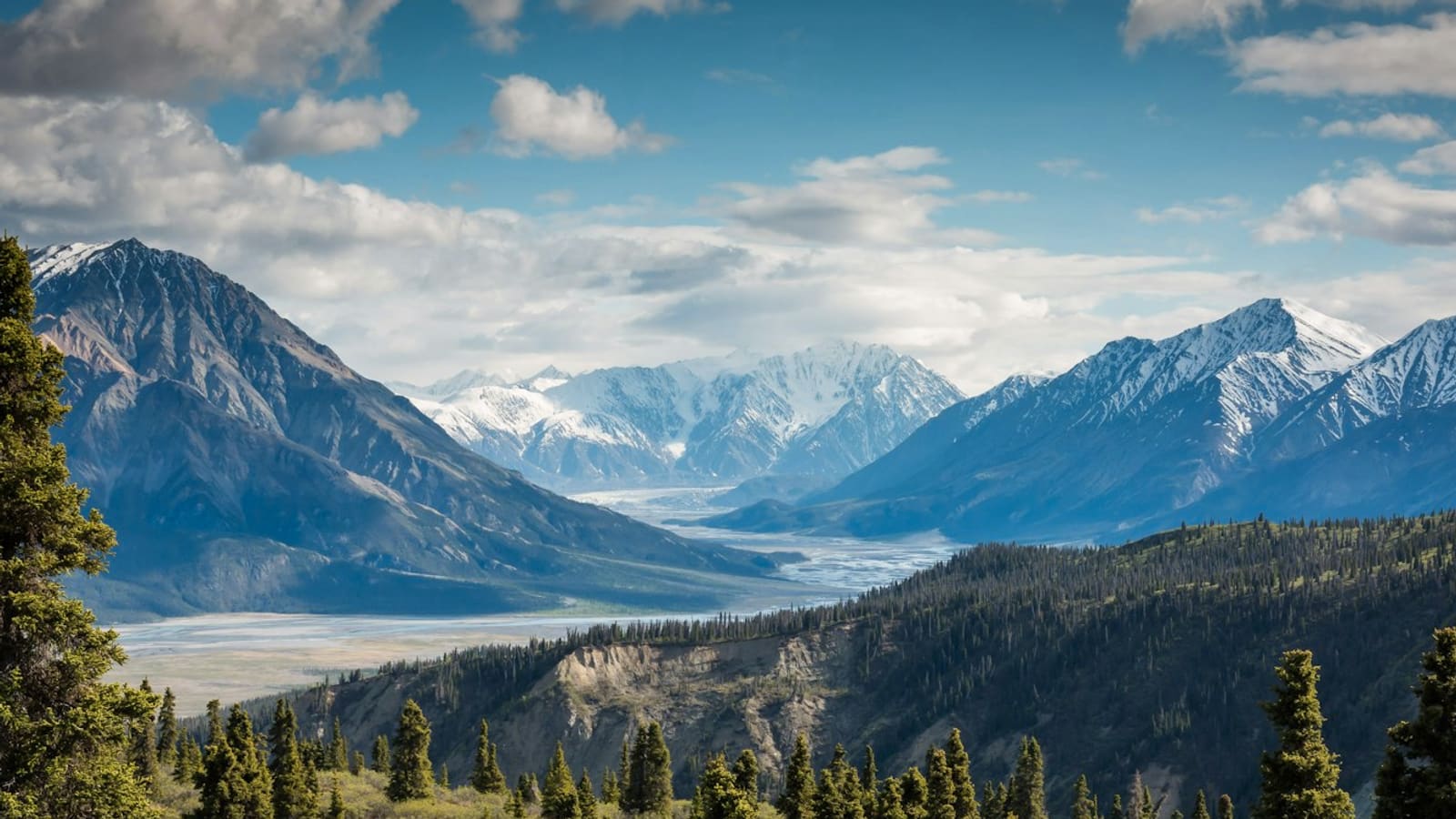
Reading a topo map comes down to three skills: understanding contour lines well enough to picture the actual terrain (steep versus flat, ridge versus valley), reading the scale to judge real distance and elevation gain, and recognizing the symbols for water, trails, and landmarks you'll actually navigate by. None of it requires memorizing anything complicated.
A topo map paired with a compass or GPS is the most reliable navigation system in the backcountry, precisely because it doesn't depend on signal or battery. Here's how to actually read one.
Contour lines are the whole map, once they click
Each contour line connects points of equal elevation, and the vertical distance between lines, the contour interval, is printed on the map (commonly 20, 40, or 80 feet). Lines close together mean steep terrain, lines far apart mean gentle terrain, and no lines at all mean genuinely flat ground.
The pattern, not just the spacing, tells you the shape: contour lines that form a V pointing uphill indicate a valley or drainage, and lines forming a V pointing downhill indicate a ridge or spur. Closed loops around a high point are a summit; closed loops with a hash mark inside indicate a depression, unusual but worth recognizing.
Use scale to judge real distance and effort
- Map scale (like 1:24,000) tells you how much real distance one map unit represents; smaller second numbers mean more detail per inch of paper
- Always check the contour interval alongside distance: two routes of equal map distance can have very different elevation gain based on how many contour lines they cross
- A rough rule for pace planning: count contour line crossings along your route to estimate total elevation gain, then factor that into time estimates, not just mileage
- Digital topo apps let you tap a route for automatic distance and elevation gain, but understanding the paper version means you're never fully dependent on a screen
Learn the symbols that actually matter on trail
You don't need to memorize every symbol, focus on the ones that affect real decisions: blue lines and shading for water (solid lines are usually perennial, dashed are often seasonal or intermittent), trail lines versus unmaintained paths, and boundary lines for wilderness areas, private land, or park boundaries that affect where you can camp.
Green shading typically indicates vegetation cover, which matters for both navigation (tree cover blocks GPS-free landmarks) and campsite planning (shade, wind protection). White or unshaded areas are often above treeline or otherwise open.
Orient the map to the terrain, not just to north
A map is most useful when you can match what's printed to what you're actually looking at. Identify a visible landmark, a peak, a lake, a drainage, find it on the map, and orient the map so the terrain lines up with reality. This single habit catches navigation errors early, long before you're seriously off route.
If you're navigating with a compass and map together, declination (the difference between magnetic north and true north) matters and is printed on most topo maps; ignoring it on a long bearing can put you noticeably off course.
Pair the topo map with GPS, don't replace one with the other
GPS and phone mapping apps are excellent for a quick position check and real-time tracking, but batteries die, phones break, and satellite lock isn't perfect in canyons or dense forest. A paper topo map (or an offline digital one you can read without a location fix) is what still works when your GPS doesn't.
The most reliable approach for backcountry travel is checking your position against the topo map periodically, understanding the terrain around you well enough to navigate by landmark if needed, and treating GPS as confirmation rather than your only source of truth.
Frequently asked questions
What does it mean when contour lines are close together?
Contour lines close together indicate steep terrain, since you're gaining or losing a lot of elevation over a short horizontal distance. Widely spaced lines mean gentler terrain, and areas with no visible lines are close to flat.
How do I tell a ridge from a valley on a topo map?
Look at which way the contour lines point where they cross a drainage feature. Lines forming a V pointing uphill (toward higher elevation) indicate a valley or drainage; lines forming a V pointing downhill indicate a ridge or spur.
What's a contour interval and why does it matter?
The contour interval is the elevation difference between adjacent contour lines, commonly 20, 40, or 80 feet depending on the map, and it's printed in the map legend. It matters because it tells you exactly how much elevation each line crossing represents, which is essential for estimating climbing effort.
Do I still need a paper map if I have GPS?
Yes, for anything beyond short, well-traveled trails. GPS devices and phones can lose signal, run out of battery, or break, and a paper topo map (or a downloaded offline map you can read without a location fix) is what keeps working when they don't.