RidgeSync
Presidential Traverse Itinerary: A 3-Day Backpacking Plan
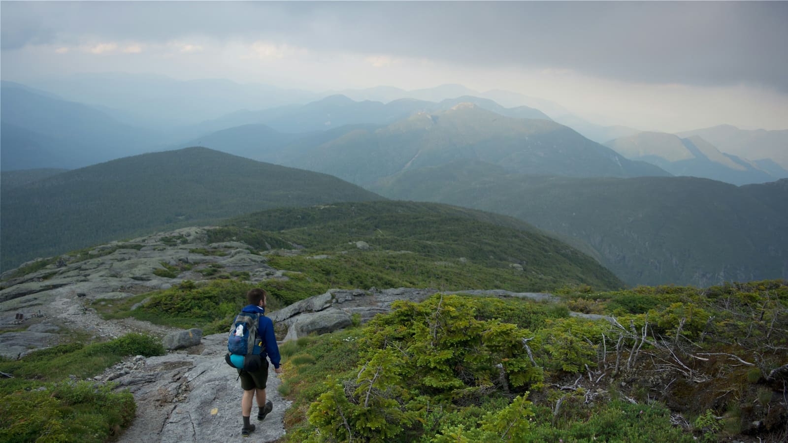
The Presidential Traverse crosses the highest ridgeline in New Hampshire's White Mountains, stringing together Mount Madison, Adams, Jefferson, Washington, Monroe, and several lower Presidentials in one continuous above-treeline route. Strong hikers often push the full traverse in a single very long day, but spreading it across three days turns it into a far more sustainable backpacking trip, with real margin for the weather this range is famous for.
This is a spine of rock above treeline for most of its length, exposed to some of the most volatile weather in the eastern US even in summer. Plan it with real bailout points, not just a finish line.
Day 1: Valley Way to Madison Spring, over Madison and Adams
Start from the Appalachia trailhead on Route 2 and climb the Valley Way, a steady, well-graded climb to Madison Spring Hut at treeline, roughly 3,800 ft of gain over about 4 miles. From the hut, tag Mount Madison (5,367 ft) as an out-and-back, then continue over Mount Adams (5,774 ft), the range's second-highest peak, before dropping to a camp or hut for the night.
Camping above treeline is restricted throughout the Presidentials, plan to camp at Madison Spring Hut (reservation required) or drop below treeline to a legal site if you're not staying at a hut.
Day 2: Jefferson, Washington, and Lakes of the Clouds
The traverse's most exposed stretch: Mount Jefferson (5,712 ft), then a long above-treeline walk to Mount Washington (6,288 ft), the highest peak in the Northeast and home to some of the most severe recorded weather anywhere on Earth. The summit has a visitor center, snack bar, and weather observatory in season, a useful bailout and resupply point if conditions or energy demand it.
Beyond Washington, drop to Lakes of the Clouds Hut for the night, sitting just below treeline in a striking alpine bowl. This is the natural stopping point roughly two-thirds through the traverse.
Day 3: Monroe, the southern Presidentials, and descent
From Lakes of the Clouds, climb Mount Monroe (5,384 ft) early, then continue over Mount Eisenhower and Mount Pierce along the Crawford Path, the oldest continuously maintained hiking trail in the US. Many parties finish here, descending to Crawford Notch, while stronger groups continue over Mount Jackson for a longer finish.
This day is shorter and lower than the first two, but don't underestimate it, tired legs on rocky, root-heavy trail below treeline are their own kind of slow.
Weather, bailouts, and huts
- Check the Mount Washington Observatory forecast specifically, not a generic regional forecast, conditions above treeline can differ enormously from the valley floor
- Bailout routes exist at multiple points: Gulfside Trail down to Jefferson Notch, several trails off Mount Washington, and the Crawford Path down to Crawford Notch on day three
- AMC huts (Madison Spring, Lakes of the Clouds) require advance reservations in summer and sell out, book early and have a legal backup camp plan
- Above-treeline camping is prohibited in the alpine zone except in designated areas, most parties either book huts or plan camps just below treeline
Frequently asked questions
How long does the Presidential Traverse take?
Strong hikers do the full ridge in a single long day, but spreading it across 3 days with hut or camp stops makes it a far more sustainable backpacking trip with real margin for weather.
Can you camp on the Presidential Traverse?
Above-treeline camping is prohibited in the alpine zone except in designated spots. Most backpackers either reserve a night at Madison Spring Hut or Lakes of the Clouds Hut, or drop just below treeline to a legal campsite.
How hard is the Presidential Traverse?
Very strenuous: roughly 20 to 23 miles with 9,000 or more feet of total elevation gain, most of it above treeline and exposed to fast-moving weather, even experienced hikers treat it as a serious undertaking.
What is the best time of year for the Presidential Traverse?
Mid-June through September offers the most reliable conditions, though the range can produce winter-like weather even in summer. Always check the Mount Washington Observatory forecast the morning you start, not just the week before.