RidgeSync
Backpacking Weather Planning: Reading Forecasts You Can Trust in the Backcountry
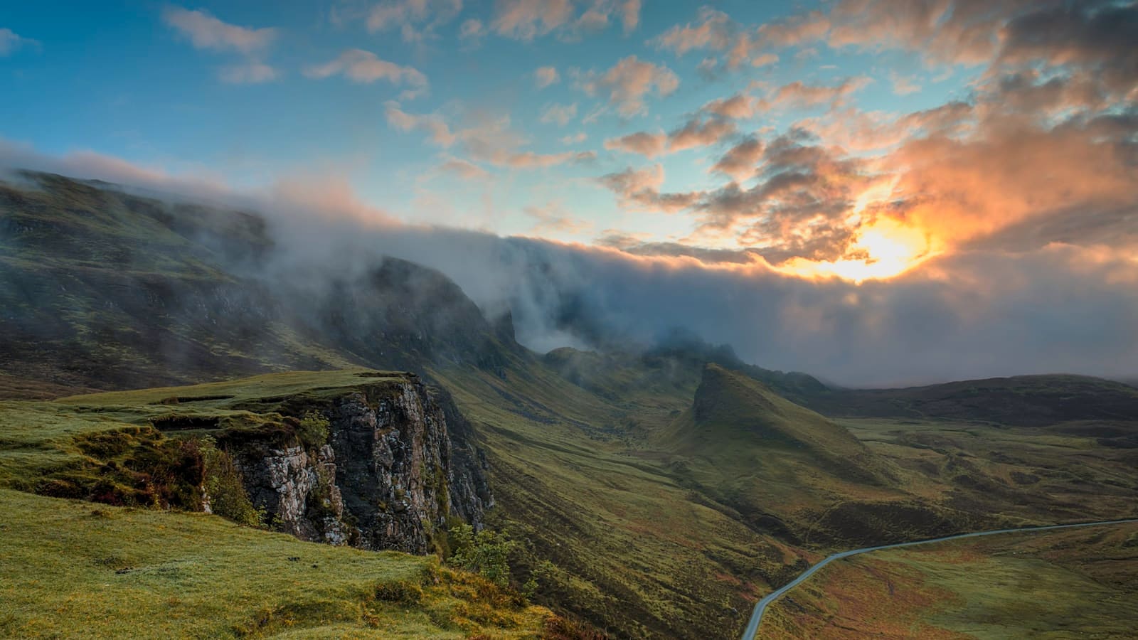
Weather planning for backpacking means three things: checking a forecast that accounts for elevation and terrain rather than the nearest valley town, building a buffer day or two into multi-day itineraries so one bad day doesn't wreck the schedule, and setting clear go/no-go rules for conditions like lightning, river crossings, and exposed ridgelines before you're standing in them.
Standard weather apps are built for towns, not summits, and mountain weather changes faster than most forecasts update. Here's how to actually plan around it.
Use a forecast source built for elevation, not the nearest town
A phone forecast for the trailhead town can be badly wrong for a ridge 3,000 feet higher. Look for point forecasts tied to specific elevations and coordinates, mountain-specific forecast services, and NOAA's point forecast tool, which lets you enter exact latitude and longitude rather than the nearest city.
Check the forecast discussion, not just the icon grid, when one is available. It explains confidence level and what could change the picture, which matters far more in mountain terrain than a single percentage.
Know your range's typical weather pattern before you go
- Afternoon thunderstorms are the norm in many mountain ranges through summer; plan to be off exposed terrain by early afternoon regardless of the morning forecast
- Desert routes can swing 40+ degrees between day and night, and flash flood risk in canyons has nothing to do with local rain, it comes from storms upstream
- Shoulder-season trips in high elevations can see snow even when lowland forecasts show none
- Coastal and maritime ranges get fast-moving fog and wind that don't always show up clearly in standard forecasts
Build weather buffer into the itinerary, not just the packing list
A tight itinerary with zero slack turns one storm day into a forced push through dangerous conditions or a missed resupply. On multi-day trips, especially anything over five days, plan at least one buffer day, either built into the schedule or as a known bailout point where you can shelter a day and still make your exit.
This matters as much for food planning as safety: pack an extra day of food on any trip where weather could plausibly delay you, since a hungry group makes worse decisions.
Set go/no-go rules before you're in the moment
Decide in advance, not on the trail, what conditions turn you around: lightning within a set distance on exposed terrain, river levels above a certain height or clarity, wind speeds that make ridge travel unsafe, or visibility below a threshold for navigation. Write these down as part of your trip plan.
The value of a pre-made rule is that it removes the sunk-cost thinking that keeps groups moving forward into worsening weather because they already hiked this far.
Watch the sky, not just the app, once you're out there
Forecasts get stale fast in the mountains. Building cumulus clouds by mid-morning, a sudden temperature drop, or wind shifting direction are all signs a storm is building faster than predicted. Check in on cell signal at resupply points or high vantage points when you can, but plan to read real conditions for the days in between.
If you're near lightning risk, get off exposed ridges and summits early and treat any thunder within 30 seconds of lightning as a signal to be in a safer position immediately.
Frequently asked questions
What's the most reliable weather source for backcountry trips?
Point forecasts tied to specific coordinates and elevation, such as NOAA's point forecast tool, are far more reliable than a general app forecast for the nearest town. Mountain-specific forecast services and ranger station reports are also strong sources close to departure.
How many buffer days should I plan for a week-long trip?
One buffer day is a reasonable minimum for a 5 to 7 day trip, either as an unscheduled day built into the itinerary or as a known bailout point that lets you shelter without missing your exit.
How do I know when lightning is close enough to be dangerous?
Count the seconds between the flash and the thunder; roughly 5 seconds per mile of distance. Any count under 30 seconds, or if you can't tell, means get off exposed terrain and to lower ground immediately.
Should I cancel a trip if the forecast shows rain?
Rain alone rarely warrants cancelling; it's usually manageable with the right layers and a plan for wet camp routines. The bigger flags are lightning risk on exposed routes, flash flood potential in canyons, or sustained high winds at elevation.