RidgeSync
How to Map Water Sources for Backpacking
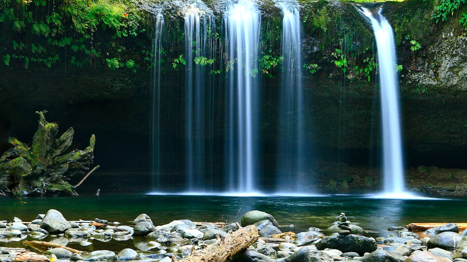
To map water sources for backpacking in RidgeSync, select the Water source tool in the map toolbar and click each stream, spring, or lake along your route; every marker you drop lands in the day's "Along the way" panel, ordered automatically by mileage so you can plan carries before you're standing at a dry crossing.
Most backpackers should carry 0.5 to 1 liter per hour of hiking in moderate conditions, and knowing exactly where the next reliable source sits (at mile 4.2 versus mile 11) is what turns that number into a real plan instead of a guess.
Mark water sources along your route
- Select the "Water source" tool
In the bottom-floating map toolbar, click Water source. The cursor switches to a "Click to place water" label, confirming you're ready to drop a marker.
- Click each stream, spring, or lake on the map
Click directly on the water feature nearest your route. Place a marker for every source you'd actually consider filtering from, reliable perennial water, not just anything blue on the map.
Tip Cross-reference the Topo trails or Satellite basemap before trusting a thin blue line; some mapped streams are seasonal and run dry by midsummer.
- Click the tool again to return to Pan map
Clicking Water source a second time exits placement mode, so a stray click doesn't drop an extra marker while you're studying the terrain.
- Check ordering in "Along the way"
Every marker on a day, water, camps, meal stops, and more, appears chronologically by mileage along the route in the day panel's Along the way section, so you can see at a glance how far apart your water sources really are.
- Remove a source with the ✕
If a marked stream turns out to be seasonal, off-route, or simply not needed, click the ✕ next to it in Along the way to remove it without touching the rest of your route.
- Re-check spacing as you build the day
As you add camps and meal stops to the same day, glance back at Along the way to confirm no gap between water sources exceeds what your group can carry comfortably.
Why mapping water carries matters
Water weighs 2.2 pounds per liter, so carrying capacity is a real tradeoff against pack weight, not a minor detail. A hiker who knows the next source is 3 miles and 90 minutes away can carry half a liter less than one facing an unknown 9-mile dry stretch, multiplied across a group, that's pounds of pack weight saved or, in the other direction, pounds of insurance against a bad gap.
Long dry stretches are also where dehydration and heat-related problems start. Mapping every reliable source before you leave the trailhead (and noting which ones are seasonal) turns "there should be water somewhere up there" into a specific mileage-based plan for exactly how much to carry out of camp each morning.
Finding and treating what you find
A marker on the map tells you where water is; it doesn't tell you whether it's safe. Knowing how to find water on trail when the map runs short, springs near contour breaks, water below talus fields, damp vegetation lines, is a skill worth building alongside your route. Every source you mark should still get treated: filtering or chemical treatment protects against giardia and other pathogens regardless of how clean a mountain stream looks.
Pair your water markers with a quick note on reliability (spring vs. seasonal creek) in the day description, so future-you (or a partner reading the shared trip) knows which sources to trust without a filter and which ones need it.
Try it live
Frequently asked questions
How do I map water sources for a backpacking trip?
Select the Water source tool in the map toolbar, then click each stream, spring, or lake along your route. Markers appear in the day's Along the way panel, ordered by mileage, so you can see the real distance between sources.
How much water should I carry between marked sources?
Plan on 0.5 to 1 liter per hour of hiking in moderate conditions, more in heat or at altitude. Check the mileage between your Along the way water markers to estimate the carry for each leg.
Can I remove a water marker if it turns out to be dry?
Yes. Click the ✕ next to that marker in the Along the way panel to remove it without affecting your route or other markers.
Do water markers replace checking if a source is actually reliable?
No. a marker records a location, not water quality or reliability. Cross-check seasonal creeks against a topo or satellite basemap, and always filter or treat what you collect.